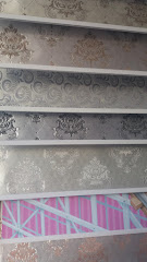
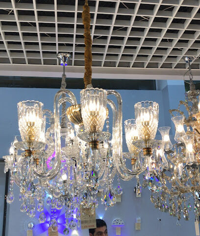
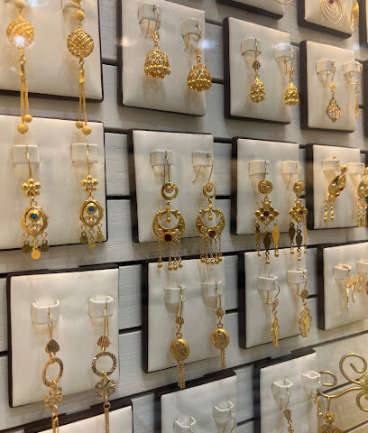
Isolation Plus: One Year Later
Interview with Fi Thomson
We met up with one of our Isolation Plus users to hear about her feedback on how she has been using Isolation Plus, if it has helped her with her work, and to find out how we could improve our product.

You have been using Orbis and our Isolation Plus data sets for the best part of 10 months now. What has been your experience of Orbis and Isolation Plus so far?
When I first looked at the data I was excited. The data had the right granularity for me to engage at community level- even street level, but also I was slightly puzzled about some of your data on fuel poverty which is one I have most experience with here. The results you were showing looked slightly different from my expectation from my community engagement, especially in rural settings, Isolation Plus was showing an airfield being fuel poor for example.
Ahh. Well, that’s not so great then…
But I’ll tell you what was great: once I raised my concerns about the data, your colleagues (Jill & Nathan) organised a session to understand what the problem could be and how it could be fixed. I made a few suggestions about the kind of data which could make the fuel poverty layer better in rural settings and, a few weeks after I made the suggestions, we were able to have a conversation with the changes added to the data and it was more what I expected to see.
So when the changes were made, I had accurate information at a granularity which I had never been able to get before. You know how it is, the information is there but it lives in obscure excel sheets which are impossible to find no matter how many stones you turn.
I knew there was data about fuel poverty but once you were able to show the different data sets, I was able to say “There is 43% of fuel poverty in Morray but now I can also tell you exactly where the very high levels (70 / 80%) are located” and I couldn’t do that before. And that makes a big difference. The responsiveness of the Astrosat team of taking onboard the information I gave them and then respond with the updates was really great.
Why is that data set of such importance to you?
Because I had been working on fuel poverty and the links it had to fuel types in homes. Areas I was looking at were not known as fuel poor or “cold houses”, and the information publicly available doesn’t help you. People don’t often know they are fuel poor; they complain that they pay too much for their heating or their house is cold…
I couldn’t, I didn’t, have the information to present to others. It was very hard to gather all that data. As I said, I knew there were Excel sheets out there made by others using EPC data but they were not very accurate. I’ll tell you what I really like using the Isolation Plus fuel poverty layer: it’s that I can see the data you used to make the calculation. Just that reference was incredibly useful and provides reassurance that you are not just making it up.
What other data sets have you been using, and why?
I’ve used a lot of the data sets because by using a few of them you can get a better picture about deprivation in an area. SIMD [Scottish Index of Multiple Deprivation] is good, but it doesn’t tell the whole story. I used the Transport Isolation layer [Transport Poverty] in relation to access to services. It’s good to be able to say “here there is 84% possibility that people have poor access to services and transport so that’s one part of the problem.”
What do you do with all the information?
How it usually works is: we get informed that a decision has been made after a consultation process, and that a solution is going to be rolled out. I then have to go back to the community and persuade them that it is the ideal solution. But now there is a new trend where consultation is carried out on the ground and the result is confirmed by the data, and this is where Isolation Plus is really useful because I don’t need to spend a lot of time looking for the confirmation of what I am told on the ground. I then work with community members and try to get something done to solve the issue.
Are people aware that they suffer from issues like transport poverty or fuel poverty, and do they know the mechanisms in place to help them?
Not always. People don’t always realise they can get help, so we do raise awareness on these issues. By raising community awareness, we were able to get Burghead into a pilot scheme to lift people out of fuel poverty that is in parts thanks for the information I was able to see in Orbis using Isolation Plus. I did get access a little too late, but it did allow me to prove that we were right. You know some people pay up to £4000/ year on heating their house and they are not even warm. Back then I wasn’t sure I could show-off Isolation Plus to others, so I wasn’t able to demonstrate the maps, but going forward I’ll definitely present Isolation Plus data to stakeholders. Since then, I’ve spoken to other people and have looked at other areas which might be affected also, where I found that some communities were sourcing their gas connection from the local distillery.
Looking to the future, do you think you will use Orbis and Isolation Plus for new opportunities to help the community?
Definitely, I’ve recently been looking at different communities to see what issues these might have too, then go and confirm “on the ground”. All the work needs to be community led, the community led projects tend to work better and that’s why they get better funding, knowing which topic might be the top issue to address is very useful. The data allows me to identify places I might need to invest time and be able to start talking to people about issues the data has highlighted. Basically, going into a session with more cards than before is very helpful, knowing what might be a problem and then confirming it is indeed a priority issue.
We need evidence of potential need in the community to steer us towards those communities which are hidden and don’t usually come forward. This is why it’s really important for me to know what data you have used to build the map, where does the data come from and reading an Excel sheet is much much harder than using Orbis. It meant I didn’t have to design a spreadsheet to highlight the issues, the data was ready for me- thanks to you.
So what you are saying is that our data scientists were able to structure that data in a way that made it easy for you to understand and use…
Yeah, but also what you did was let me see what data you were using so I knew the data you are using is relevant to me. I don’t need to understand it all I now have a brilliant picture of the data which makes lots of sense.
Without making promises would you find it interesting to have 2022 datasets?
Yes, that would be great., Being able to see the difference between 2021 and 2022 to view the impact of the policy changes/ interventions put in place would be very, very useful to see.
I really like being able to access that data, it has been really eye-opening and so helpful because so often it is very, very difficult to find the data that you want; nearly impossible to find the right data in the right place, which Isolation Plus allows me to do. I’m a big map geek so I love what you have done.
Last question, is there anything missing in Orbis right now which you would like to have?
It’s all great to be honest, but it would be so nice to be able to compare multiple datasets at the same time, being able to look at two things at once. The app itself is really good and intuitive so I am very happy with it.